
Cyvl.ai
enterpriseCyvl.ai is a cutting-edge platform designed to revolutionize the management of transportation infrastructure through AI-powered mapping. By partnering with engineering firms and governments, Cyvl.ai provides tools to map, measure, and inspect the physical world with unprecedented efficiency and accuracy. This technology empowers users to make fast, data-driven decisions that are crucial for building and maintaining robust transportation networks.
Visit Cyvl.ai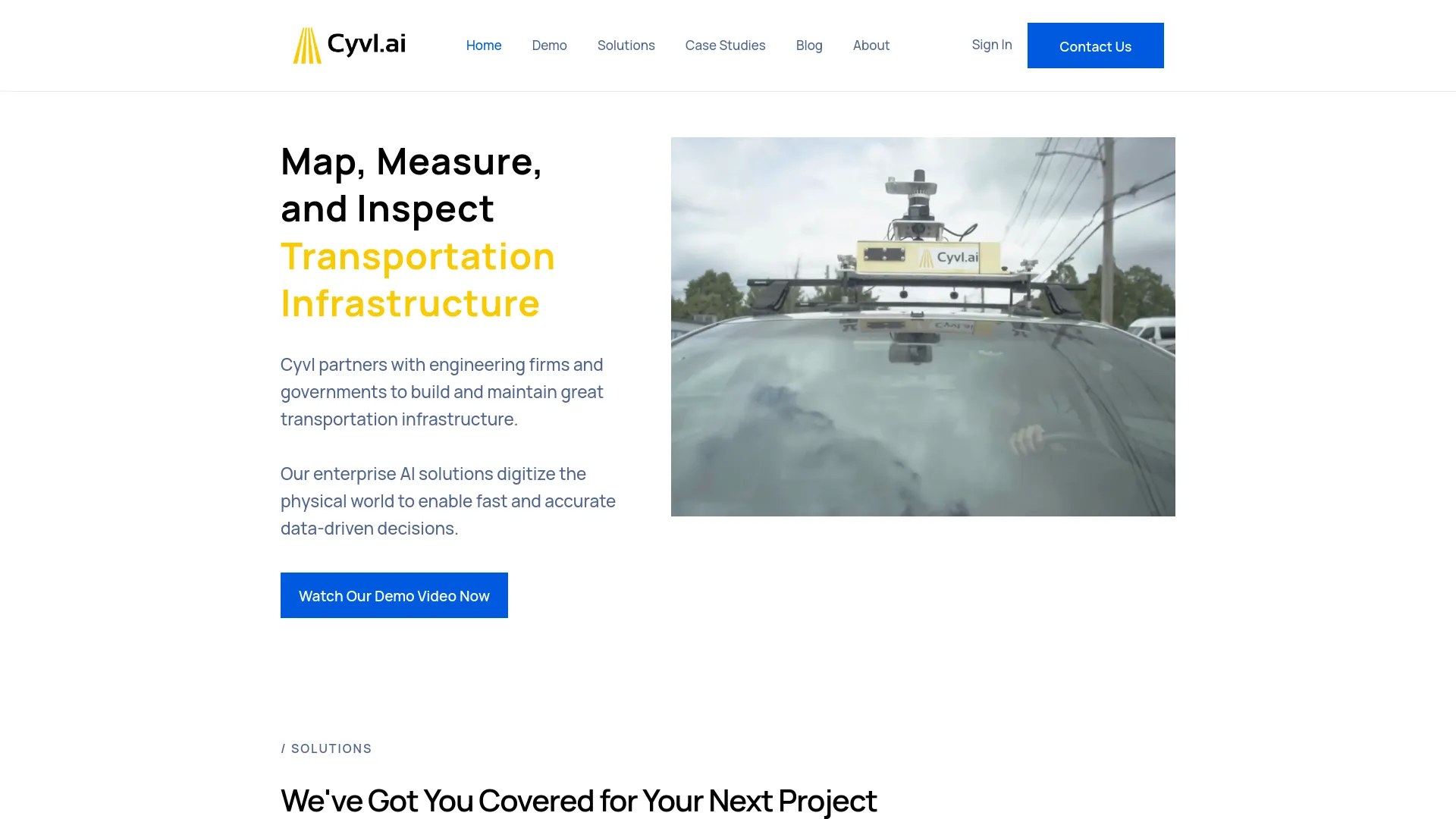
Key Features
LiDAR Scanning
Provides rapid 3D LiDAR scans of the built environment, significantly reducing the time required for data acquisition.
Asset Detection
Capable of detecting a wide array of Right-of-Way (ROW) assets, such as streetlights, signs, and hydrants.
Sign and Tree Inventories
Simplifies the process of inventorying traffic signs and managing urban forestry through sophisticated AI technology.
Pricing
Enterprise Solutions
- Custom pricing based on the scope and scale of the project.
Disclaimer: Please note that pricing information may not be up to date. For the most accurate and current pricing details, refer to the official Cyvl.aiwebsite.
Categories:
AI detectionResearch